Hey there, fellow dev! 👋
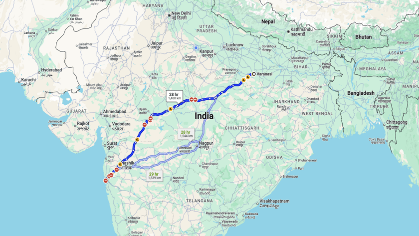
Ever tried visualising a massive dataset of geographic coordinates on a map? You probably ended up staring at a laggy, unresponsive map filled with polylines that tested your patience and your users’ nerves.
But hey, you’re not alone. Rendering thousands (or even millions) of polylines can be a performance nightmare…